Reeds Lake Bike Route
As you take off from John Collins Park, you’ll enjoy an expansive view of the lake along with bustling activity around a public boat launch, picnic tables, benches and a public plaza.
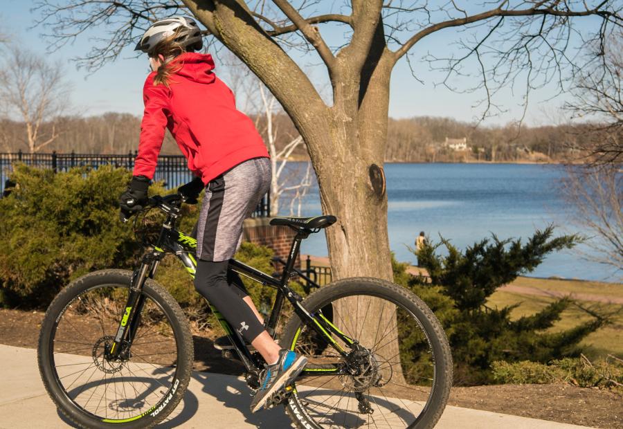
This is the flattest and widest paved sections of the trail with a scenic overlook along the way. The overlook presents an opportunity for riders to take a picture of the gorgeous scenery, re-adjust their bike equipment and prepare for the four-mile route ahead.
Prior to reaching the first-mile marker, you’ll approach Hodenpyl Woods, which also has a mile-long unpaved scenic Wildflower Trail. If your bike is up to it, the trail is ideal for off-road cycling with manageable twists, banks and slopes. Check out the Woods map and plant identification key if you’d like to explore this area.
Mile 1
Travel through adjacent parks filled with wooded trails and slight hills. Follow the trail along Reeds Lake Boulevard to view welcoming East Grand Rapids neighborhoods and admire the beautiful architecture. You’ll pass both Griffiths Park, a small area of natural mature woodland, and Manhattan Park, which features a wide range of recreational amenities.
Mile 2
You can tell by the upcoming hum of cars in the distance that you’re approaching the section of the trail that runs parallel to East Beltline. You’ll follow the trail alongside the much more placid Reeds Lake Boulevard.
Mile 2.75
Once the trail heads up Hall Street, you’ll experience the steepest incline of the trail. It’s a pretty daunting hill, and there’s no shame in walking. Once you’re at the top, catch your breath and rehydrate before continuing alongside Hall Street.
Mile 3.4
Once you reach the intersection of Hall Street and Lake Drive, take a right (onto Lake Drive). This is the busiest stretch of the trail and the paved path transitions into a regular suburban sidewalk. Drivers are used to seeing a steady stream of bikers along this route, but make sure to exercise good judgment.
Mile 4.0
Follow Lake Drive until it reaches Breton Road and Lakeside Drive. Take a right on to Lakeside Drive at East Grand Rapids Middle School where you’ll pass the school's tennis courts and the local Community Center. Shortly after, you’ll return to John Collins Park.